What Farragut New-Construction Lot Buyers Should Ask
August 27, 2026
August 27, 2026
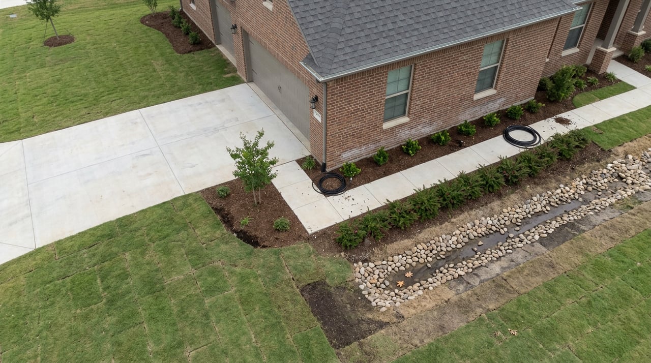
On May 21, 2026, the Farragut Municipal Planning Commission unanimously approved a set of changes to Bridgemore, one of the town's larger subdivisions off McFee Road. The developer, Placemakers No. 2 Partnership, needed to redraw part of the layout for Phases 3B and 4. The reason wasn't a market shift or a design trend. It was topography. A cluster of sinkholes in the northwest portion of the property meant the original 2021 concept plan, which called for smaller lots on a gridded street pattern with alley access, no longer fit the ground it was drawn on. The commission approved a variance for a longer road, a new lot layout, and roughly five more acres of open space to work around what was already there.
If you're shopping for a new-construction lot in Farragut, that single planning file tells you more about how this market actually works than any median price chart. The lesson isn't that sinkholes are a red flag. It's that the map you're looking at today may not be the map the house eventually sits on, and knowing why gives you real leverage before you sign anything.
Farragut sits in East Tennessee's Valley and Ridge region, where limestone bedrock underlies much of the ground. Knox County, which contains Farragut, is estimated to have nearly 60 percent of its land area sitting on soluble carbonate bedrock, the kind of geology that produces sinkholes as water dissolves the rock over time. That's not a Farragut-specific quirk. It's a regional condition, and the town has built an entire regulatory apparatus around it. Farragut's Planning and Zoning department administers a dedicated Sinkhole Ordinance alongside its Tree Protection, Aquatic Buffer, and Subdivision Regulations, and staff field questions about it regularly enough that it gets its own line on the department's public FAQ.
That ordinance exists because sinkholes keep showing up in the town's most desirable subdivisions. The Cottages at Pryce Farm has a documented 2.4-acre sinkhole on its property. Smaller depressions have turned up in Meadows on McFee and in the Grove at Boyd Station, two of the more active new-construction communities in town right now. None of that stopped those neighborhoods from getting built, and none of it should automatically stop you from buying there. What it should do is change which questions you ask before you write an offer.
Farragut's zoning code has a built-in answer for this. The Open Space Residential Overlay district, which sits on top of the base Rural Residential zoning, allows developers to cluster homes on smaller lots in exchange for preserving open space elsewhere on the parcel, up to a density cap of roughly 2.18 units per acre. That flexibility is exactly the tool Bridgemore's developer used: instead of forcing houses onto unstable ground, the revised plan pushed lots away from the depressions and banked the difference as protected open space. A sinkhole on a large parcel doesn't necessarily shrink the number of homes a developer can build. It just moves them.
For a buyer, that means three things worth sitting with:
The lot lines you see in a builder's brochure are a snapshot, not a guarantee. Bridgemore's Phases 3B and 4 were first reviewed by the Planning Commission back on October 21, 2021, revisited on December 15, 2022, and didn't get final sign-off on the amended layout until May 2026. That's roughly four and a half years between initial concept and a buildable plat for one section of one subdivision, and the delay wasn't just paperwork. Part of it involved a disagreement over the letter of credit required to guarantee road improvements, and part of it was the site's own ground conditions forcing a redesign. If you're reserving a lot in a future phase, ask directly whether the plat is preliminary or final, because those aren't interchangeable.
Price and lot size inside the same subdivision can vary for reasons that have nothing to do with the model home. A lot near a documented depression may end up larger, oddly shaped, or positioned differently than its neighbors simply because the builder had to design around what's underground. That's not a defect story. It's a layout story, and it explains price and shape variation you might otherwise chalk up to random builder pricing.
A sinkhole is a design constraint, not a verdict on the property. Nothing in the public record on Bridgemore, Pryce Farm, Meadows on McFee, or the Grove at Boyd Station suggests these depressions made the land undevelopable. They made it different to develop, which is a distinction that matters a great deal to how you evaluate a specific lot.
| What buyers assume | What the local record shows |
|---|---|
| A sinkhole means the lot is a problem | Farragut's ordinance and Open Space Overlay zoning are built specifically to let developers work around sinkholes while keeping density intact |
| The plat map on the builder's website is final | Bridgemore's Phase 3B/4 plat went through review in 2021, 2022, and again in 2026 before final approval |
| Older, established neighborhoods are the only ones affected | Documented sinkholes appear in both older sections and in current active builds like the Grove at Boyd Station |
| Sinkhole disclosure is automatic | Homeowners insurers in Tennessee are required to offer sinkhole coverage, but it isn't automatically included, and buyers typically have to request it |
If you're seriously considering a new-construction lot in Farragut, a few concrete steps do more for you than a general inspection contingency:
None of these steps require a lawyer or a geologist on retainer. They require asking the builder or listing agent a direct question and expecting a direct answer, which is a reasonable thing to expect on a purchase this size.
Does a documented sinkhole mean I shouldn't buy a home near it? Not on its own. Farragut's ordinance and its Open Space Residential Overlay zoning exist precisely because sinkholes are common enough here that the town needed a standard way to design around them. The question is whether the current site plan already accounts for it, which is why plat history matters.
Is sinkhole coverage included in a standard Tennessee homeowners policy? Tennessee requires insurers to offer sinkhole coverage, but it typically isn't bundled in automatically. Ask your agent to quote it separately so you know the cost and the coverage terms before closing.
How do I check whether a specific Farragut lot has known topography issues? Knox County's KGIS.org system lets you look up a parcel's topography and plat history directly. It's the same public resource Town officials reference when residents ask about a specific property.
Why do some subdivision phases take years longer to reach the market than others? Sometimes it's demand. Often, as with Bridgemore's Phases 3B and 4, it's a combination of site conditions and infrastructure agreements, like road improvements and letters of credit, that have to be resolved before the Planning Commission will approve a final plat.
Buying new construction in a town built on karst geology isn't riskier than buying anywhere else in East Tennessee. It just rewards buyers who ask about the ground before they ask about the granite. If you're weighing a lot in Bridgemore, the Grove at Boyd Station, or any other active Farragut subdivision, Jennifer Shuler can walk through the plat history and site specifics with you before you make an offer. Let's Connect.
Jennifer provides expert guidance backed by years of experience and a client-first approach. Her strong negotiation skills and attention to detail help ensure smooth and successful transactions. Contact Jennifer to get started today.
JENNIFER SHULER
10255 KINGSTON PIKE KNOXVILLE, TN 37922